Mt. Adams - South Approach
Route Details

Area - Mt. Adams, WA
Access - Trailhead is at Cold Springs Campground (NF-8040 to NF-500). Road is covered in snow until usually around late May/early June. For this particular outing we were able to drive to the Cold Springs Campground and sleep in the car before getting an alpine start.
Total Trip Time - 10-12 hours
Total Distance - 11 miles
Main Ski descent - 6800 ft
Elevation Gain/Loss - 6800 ft
Max Slope Angle - 45 °
Guides
FATMAP (below)
Backcountry Ski & Snowboard Routes: Washington by Martin Volken
Local Beta - The nearby town of Hood River is a good spot to pick-up last minute items (Pure Stoke is a great litle outdoor store in town), and there are many decent restuarants to choose from. Many climbers camp at the trailhead at Cold Springs Campground which can get pretty packed once the road is snow free. The road to the trailhead isn't in terrible shape as of late, but it helps to have all wheel drive and there are a few sections where having a little clearance helps.
Trip Report 6/10/2023
Antoine, Olly, and I were on a roll after skiing Mt. Hood, Mt. Rainier, and Mt. Baker over the last 6 weeks. We wanted to round things out with a ski from the summit of Mt. Adams, and the weather was somewhat cooperating. We drove down from Seattle Friday, mostly beating the traffic but still getting stuck on I5 around Olympia. We made it into the Cold Springs campground late and got maybe 3 hours of sleep before starting up the summar climbers trail with our skis on our backs.
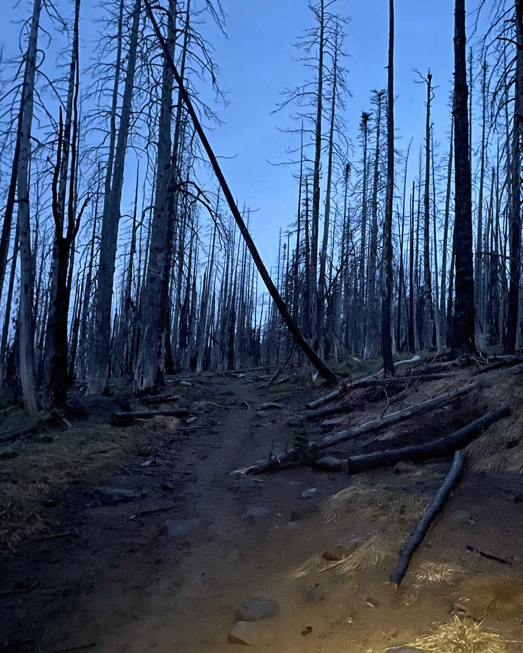
It was drizzlying rain for the first hour or so of the hike. The snow was consistent enough snow to begin skinning once we got to the Timberline Campground (~6200 ft elevation). We followed the Lunch Counter approach which goes just climbers left of South Butte. The trail from here to the upper alpine was fairly easy except for one steeper section right before gaining the ridge climbers left of South Butte.

It had been a very hot and sunny spring, and the mountain showed it. The rocky ridges were bare of snow all the way up to 12k ft. elevation, and the snow that remained in the main gullys and chutes was becoming badly sun-cupped. The last 1k ft. to Piker Peak was completely tracked out with rotten snow. The 1 in. or so of new snow that had fallen overnight provided just enough support for some parties to continue skinning, while we opted for booting up the final stretch to Piker Peak.

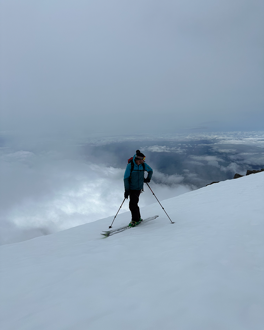
Once past Pikers Peak, the snow was in much better condition and there was a nice dusting of new snow from the night before. The final climb from Pikers Peak to the summit took us just a little over 30 minutes, but felt longer.

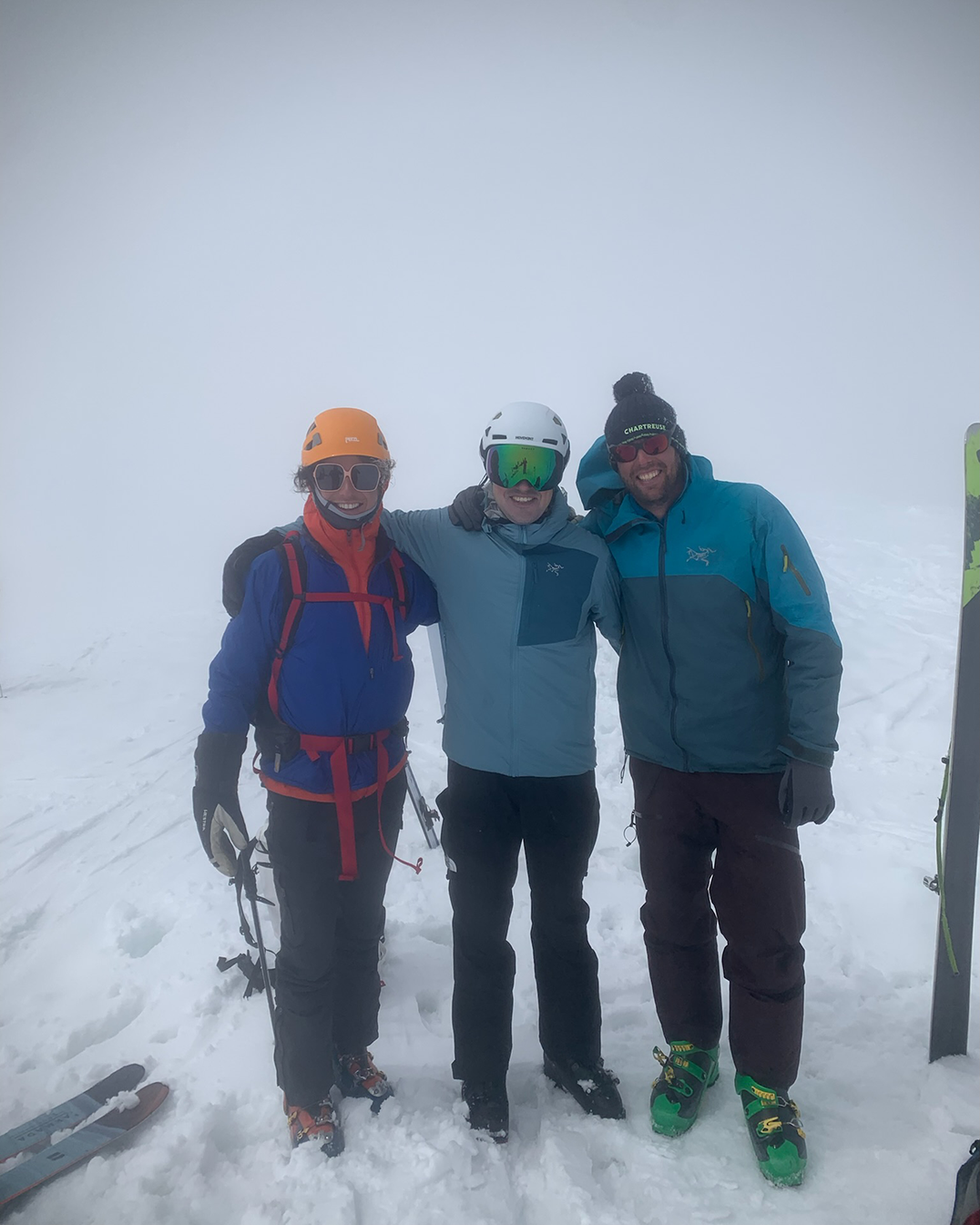
Once at the summit we took a short rest. There were probably 4 or 5 other groups already at the summit taking much longer breaks from what we could tell. The clouds had encircled the summit, and since we knew it was clear skies just another 500 ft. in elevation below us we quickly got our skis on and headed down.
We skied down following our uphill tracks towards Pikers Peak. Once near Pikers Peak we turned right and took a quick break above the Southwest Chutes before skiing down 3k ft. of fall-line slushy snow.
We missed the traverse left to get us back on the uphill trail that would have led us to our tennis shoes at Timberline Campground. We kept skiing down the fall line until getting to the Round the Mtn trail at about 6200 ft. elevation. We paid the price dearly by having to hike nearly 2 miles on patchy snow covered trail back towards our hiking shoes before taking the summer trail back down to the car.